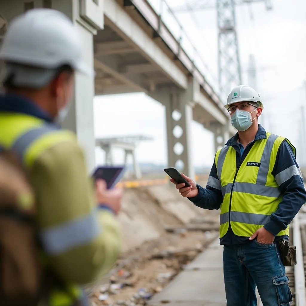
At Mapin, our integrated end-to-end technology revolutionizes infrastructure and utilities mapping by seamlessly bridging above-ground and underground systems—delivering comprehensive, real-time insights for safer, more efficient operations, smarter urban planning, and more reliable project outcomes.
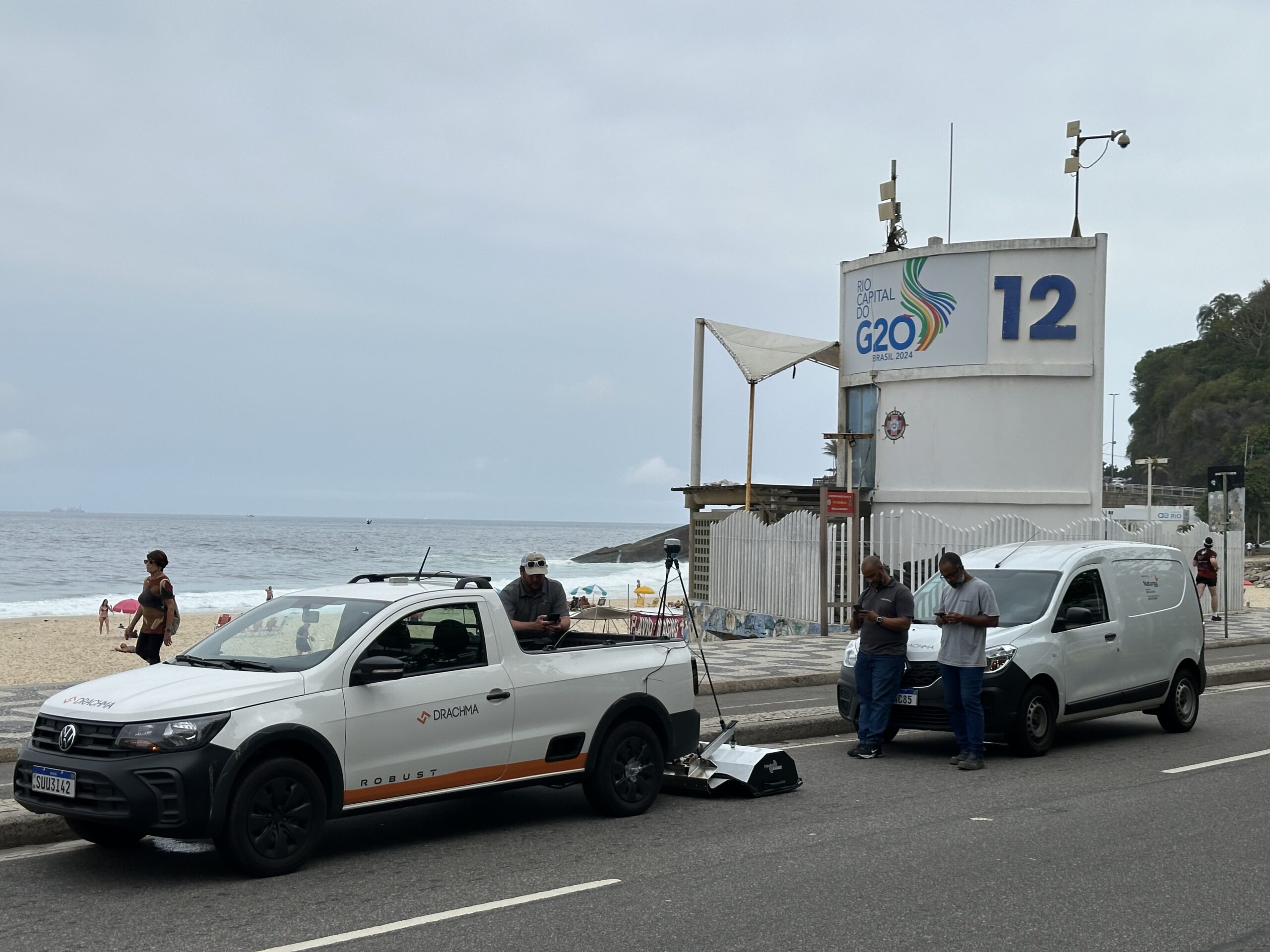
Equipped with high-speed 3D GeoRadar, our vehicle scans underground networks and pavement structure (asphalt, base, and sub-base layers) in a single pass.
Surface Asset Capture
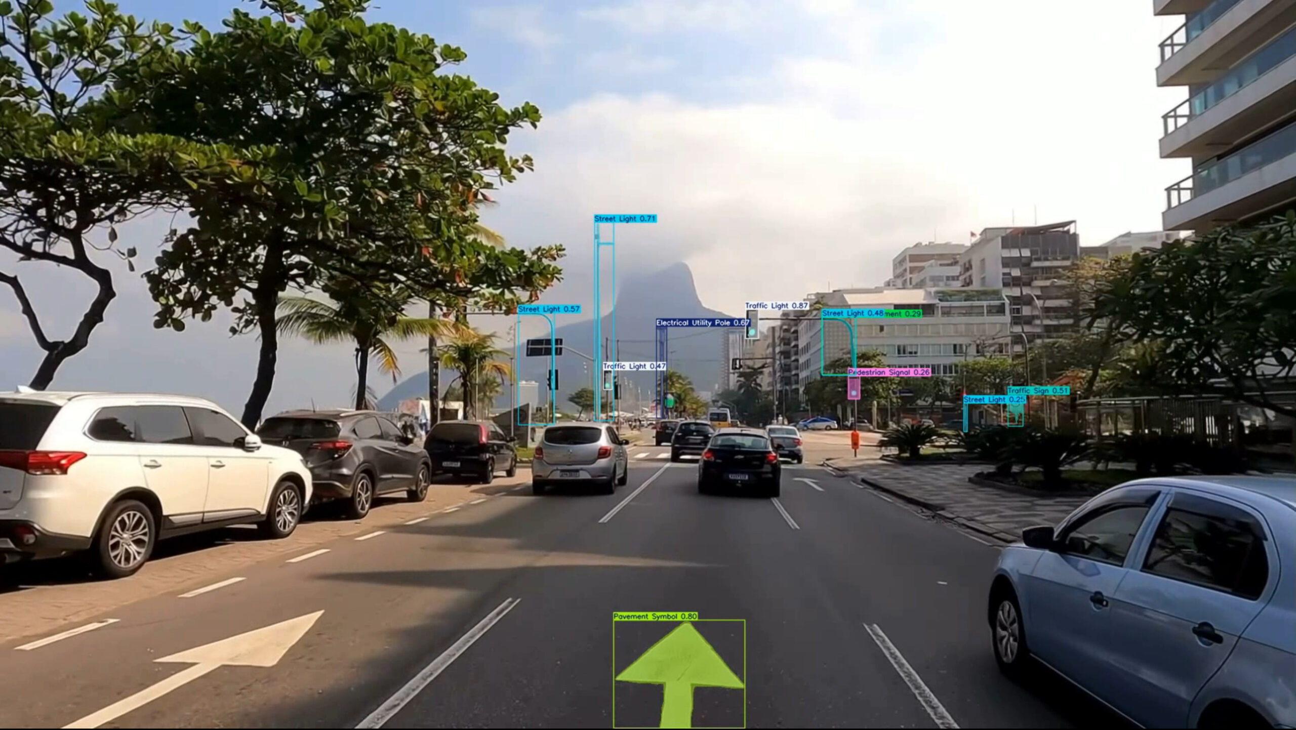
360° cameras capture complete images of the above-ground environment, recording poles, hydrants, valves, access covers, and other visible assets.
Gas Leak Detection
Specialized sensors and OGI (Optical Gas Imaging) cameras identify and quantify methane and other gas emissions, generating georeferenced maps of critical points.
Analysis & App Access
All data (underground, leaks, and surface assets) converges into our Apps: interactive dashboards, customizable push alerts, and exportable reports.
Discover Mapin's Vision
At Mapin, we are dedicated to revolutionizing infrastructure mapping through innovative technologies, integrating hardware and software through data. Our mission is to empower industries with precise insights, ensuring safety and efficiency in every project we undertake.
2024 years
Since our founding, we have been committed to continuous improvement and embracing new technologies to enhance our mapping solutions for the modern age.
1 core values
Our core values—Innovation, Reliability, Simplicity, Collaboration, Communities Empowerment and Sustainability—guide our approach to every project, ensuring we deliver exceptional results.
team members
Our team consists of experienced professionals, including leaders in civil engineering and geophysics, dedicated to driving innovation.
15 years of experience
With a combined experience of over 15 years, our team is equipped to tackle the challenges of modern infrastructure.
Discover Our Cutting-Edge Mapping Technology
Our ‘First-of-Its-Kind in Brazil’ innovative mapping technologies provide unparalleled insights into both surface and subsurface infrastructure. Our combination enhances decision-making, reduces risks, and saves time and costs, making it indispensable for all kind modern infrastructure projects.
Enhances decision-making with accurate and reliable data.
Reduces project risks by identifying potential issues before they arise.
Saves time and costs through efficient mapping processes.
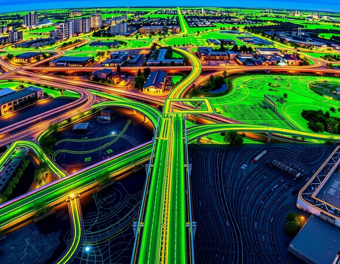
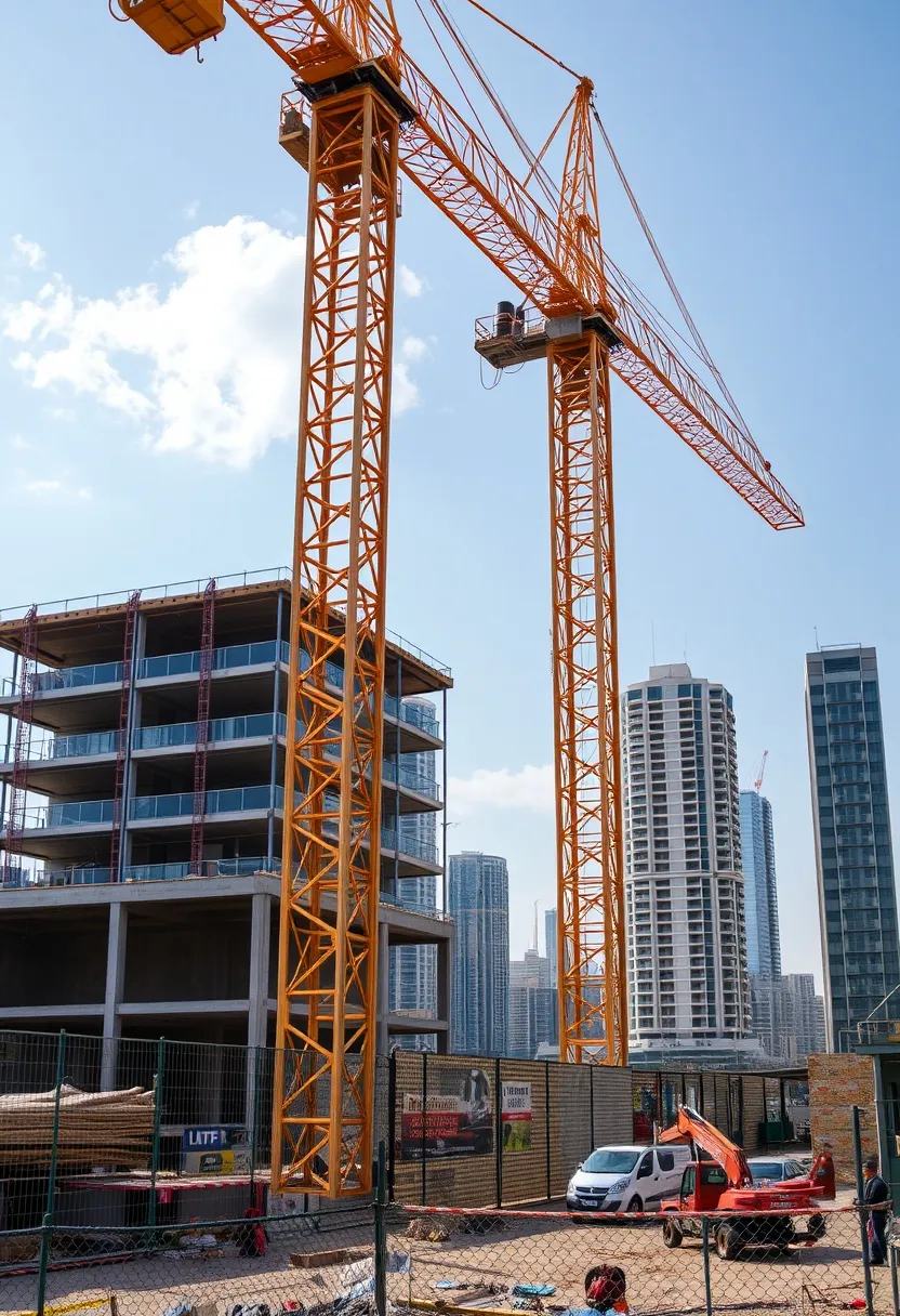
Industries Benefiting from Our Mapping Solutions
Mapin is transforming industries by providing precise and actionable insights. Our technology is crucial for sectors like construction, utilities, and urban planning, ensuring efficient and safe infrastructure development.
Explore our innovative Explore how Mapin’s innovative mapping solutions have transformed urban planning and infrastructure management through real-world applications.
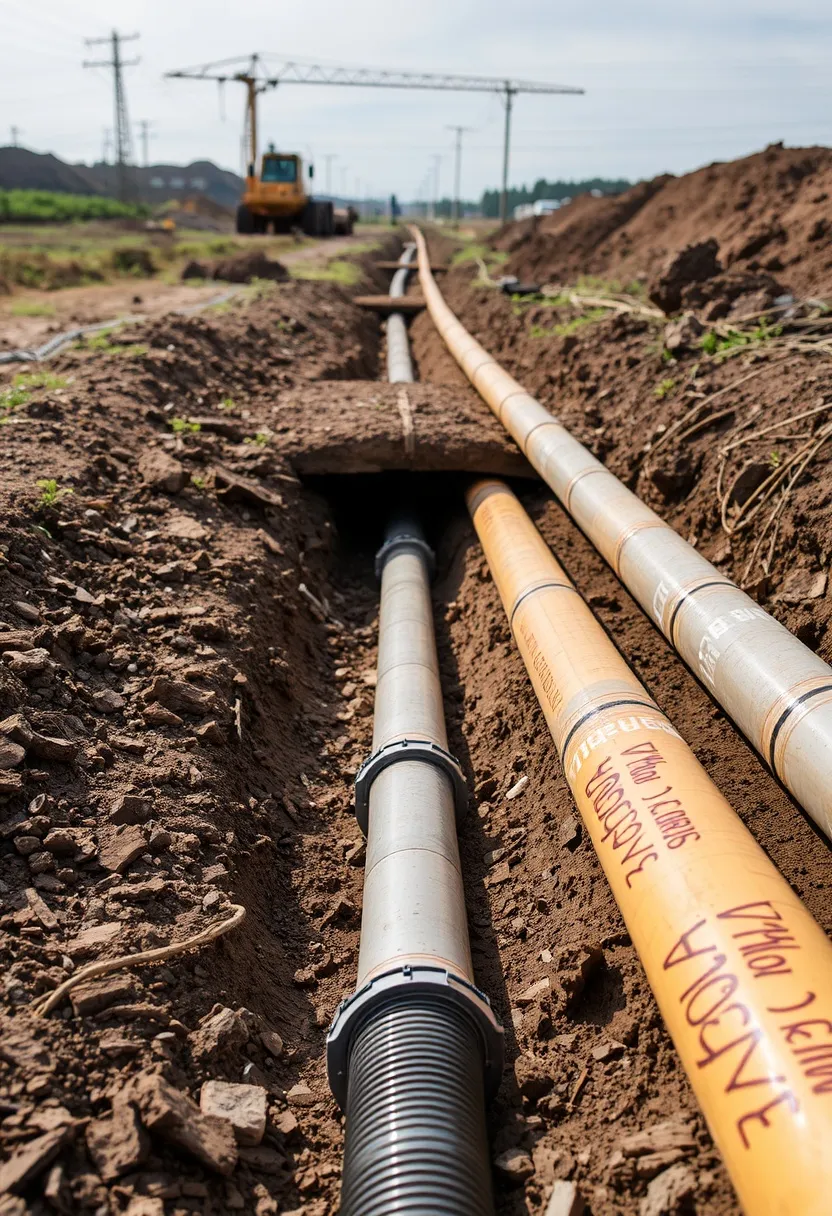
Spot Underground Utilities Mapping
This project involved mapping the underground utilities of a major urban area, providing critical insights that helped avoid costly disruptions for the Drachma MND during a horizontal drilling for pipe installing for energy cables.
These programs are crucial for maintaining infrastructure, ensuring safety, and enhancing efficiency. Investing in upgrades and new technologies leads to better performance, reduced downtime, and increased reliability. Furthermore, upgrading these assets promotes regulatory compliance and sustainable practices, benefiting the environment and communities.
Discover how our innovative mapping solutions have transformed projects.
Mapin's georadar technology provided us with invaluable insights, ensuring our project was completed on time and within budget.
Join Our Journey
Connect with our team and stay informed with the latest advancements in infrastructure mapping innovative solutions. Subscribe to our newsletter for insights, updates, and exclusive content from Mapin.