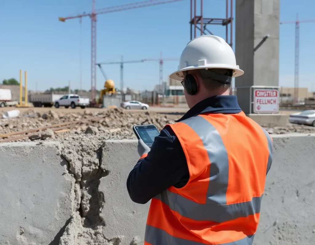
At Mapin, we offer a range of innovativeservices designed to enhance infrastructure projects. Our solutions leverage Georadar and AI-powered 360 mapping as a critical partnership to provide precise and efficient mapping for both above-ground and underground needs, transforming how industries approach infrastructureprojects.
Precision
Our technology ensures accurate mapping of both surface and subsurface layers.
Efficiency
Streamline your projects with our fast and reliable mapping solutions.
Industries Benefiting from Our Expertise:
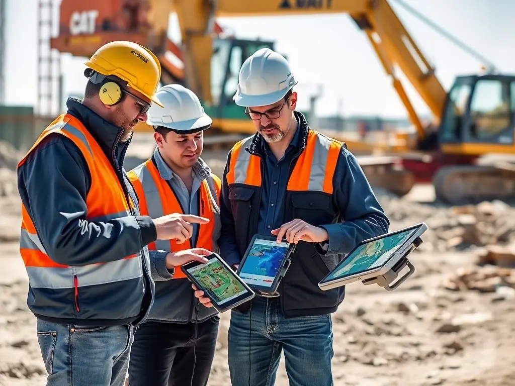
Infrasctrucure Development
Pre-construction site analysis.
Preventing accidental utility damage during excavation.
Utility maintenance and planning.
Concrete scanning for safety compliance.
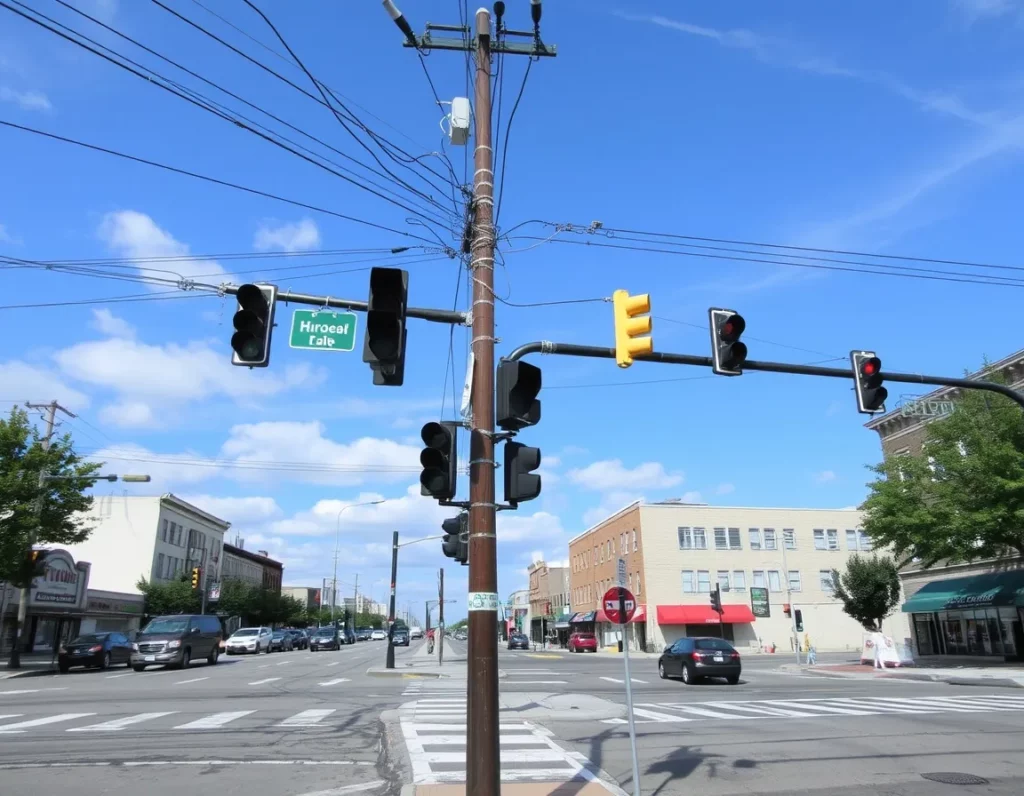
Municipalities
Inventory and assess street-level assets such as traffic signals, sidewalks, and streetlights.
Urban lightining
Map and monitor power lines, poles, and related infrastructure.
Facilitate urban planning and maintenance.
Pre-construction site analysis.
Preventing accidental utility damage during excavation.
Utility maintenance and planning.
Utility detection and mapping.
Groundwater and contamination studies.
Concrete scanning for safety compliance.
Bridge and viaduct structure.
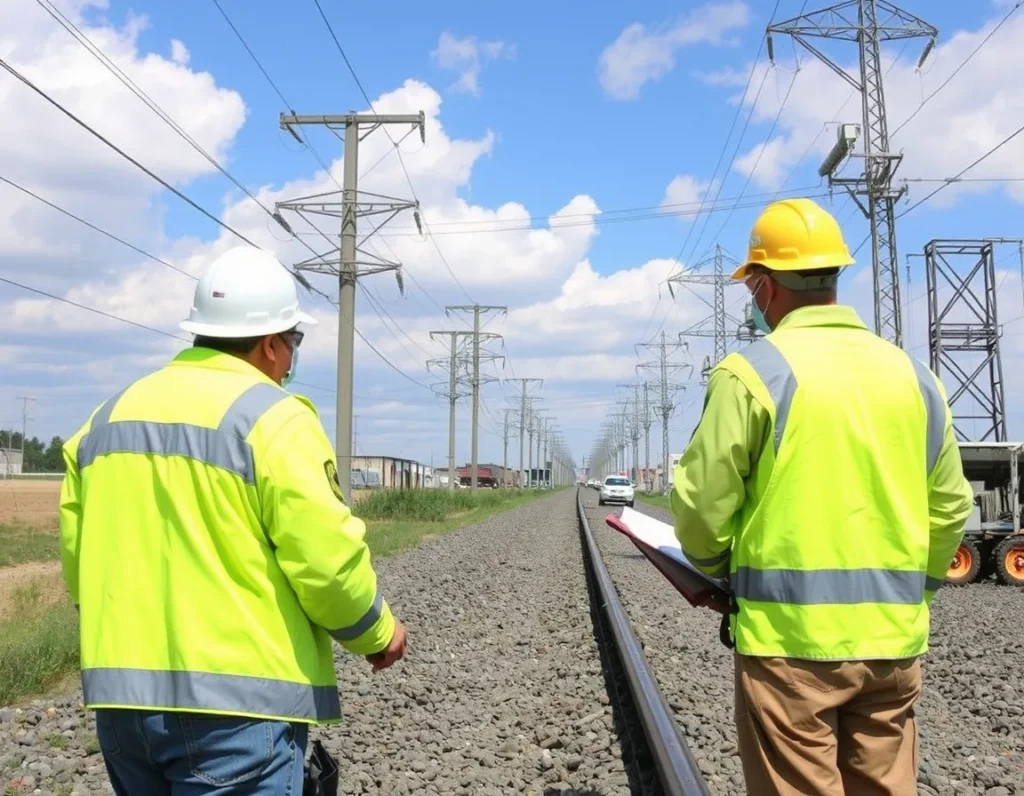
Utilities Companies
Current Asset Inventory.
Map and monitor power lines, poles, and related infrastructure.
Support maintenance and upgrade programs.
Pre-construction site analysis.
Preventing accidental utility damage during excavation.
Utility maintenance and planning.
Utility detection and mapping.
Groundwater and contamination studies.
Transportation Infrastructure
Pavement thickness mapping.
Road and runway assessment.
Railroad subsurface inspection.
Identifying delamination and voids
Bridge deck analysis.
Bridge and viaduct structure.
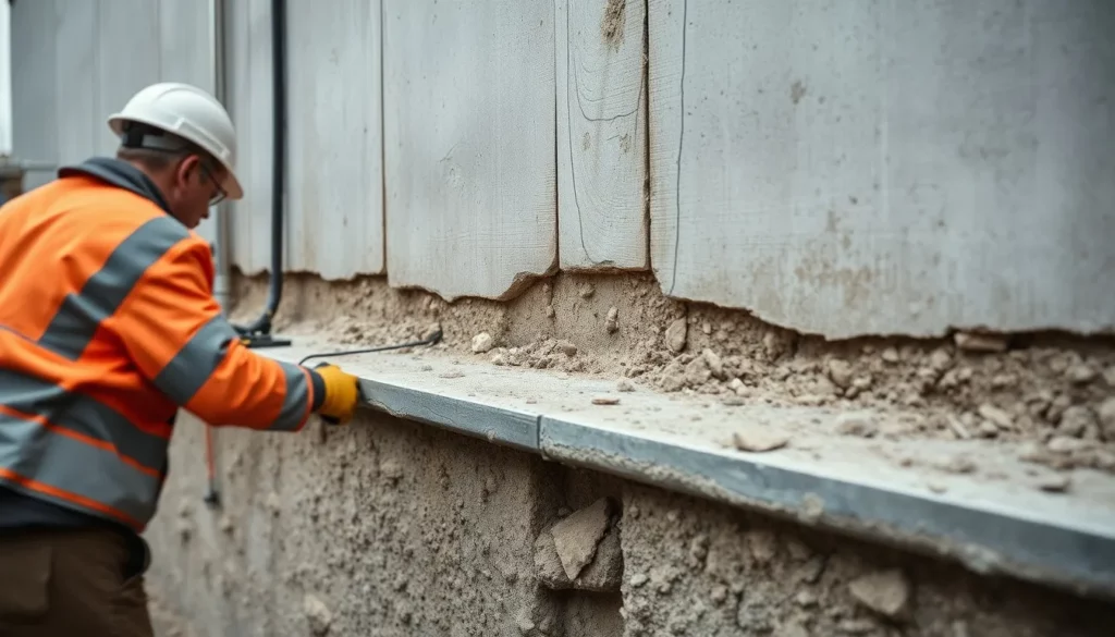
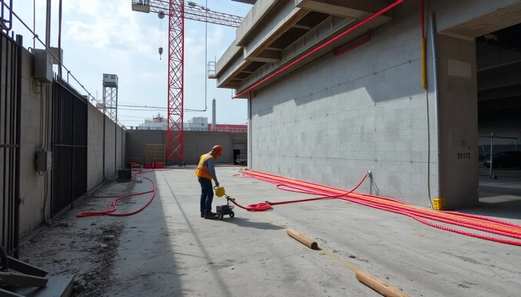
Construction
Pre-construction site analysis.
Preventing accidental utility damage during excavation.
Rebar location and analysis.
Concrete thickness measurement.
Void detection.
Civil Engineering
Rebar location and analysis.
Pavement thickness mapping.
Void detection.
Identifying delamination and voids
Concrete thickness measurement.
Industry Facilities
Pre-construction site analysis.
Rebar location and analysis.
Concrete thickness measurement.
Void detection.
Facility inspection and maintenance.
Pipe and conduit tracing.
Subsurface anomaly detection.
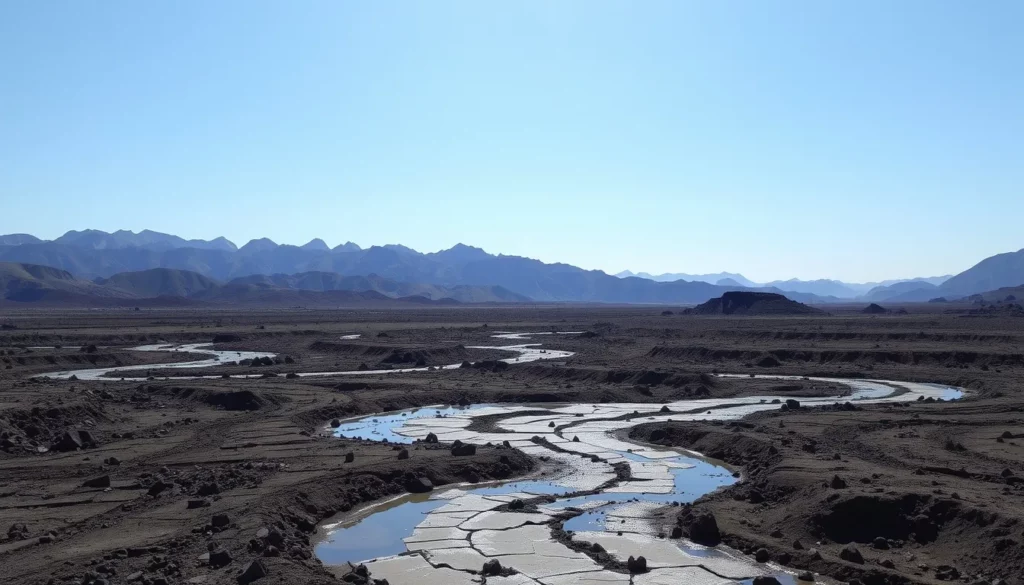
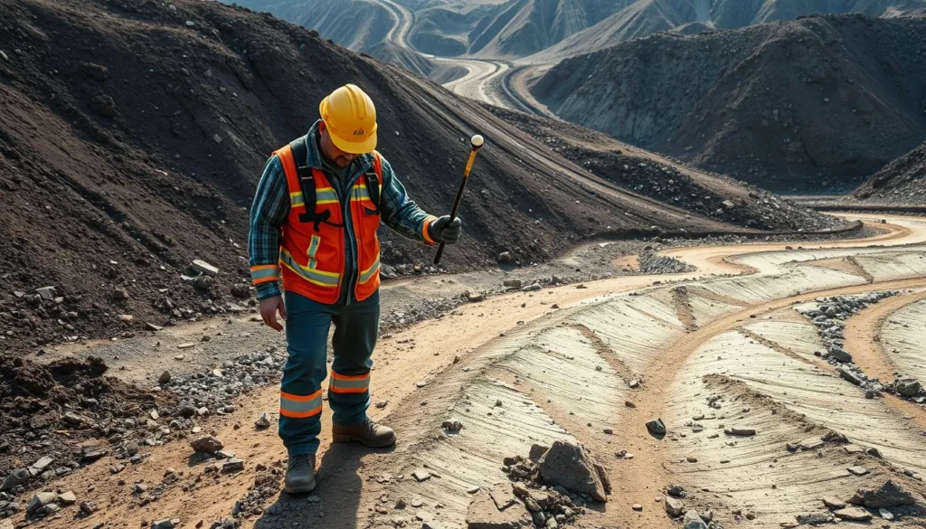
Geology
Soil stratigraphy mapping.
Mapping mineral deposits.
Identifying hazards in mining operations.
Groundwater and contamination studies.
Agriculture
Soil analysis.
Groundwater and contamination studies.
Environmental Science
Soil analysis.
Groundwater and contamination studies.
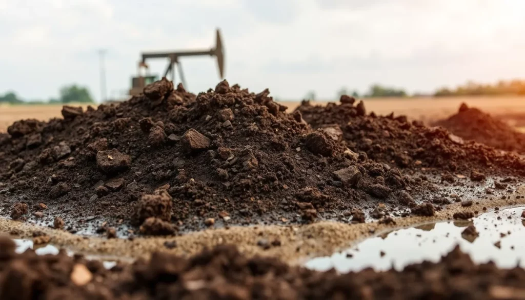
Oil & Gas
Soil analysis.
Groundwater and contamination studies.
Mining
Soil analysis.
Mapping mineral deposits.
Identifying hazards in mining operations.
What Our Clients Say
Discover how our mapping solutions transformed their projects.
Mapin's georadar technology provided us with insights that were previously unimaginable. It significantly improved our project timelines.
Join Our Journey
Connect with our team and stay informed with the latest advancements in infrastructure mapping innovative solutions. Subscribe to our newsletter for insights, updates, and exclusive content from Mapin.