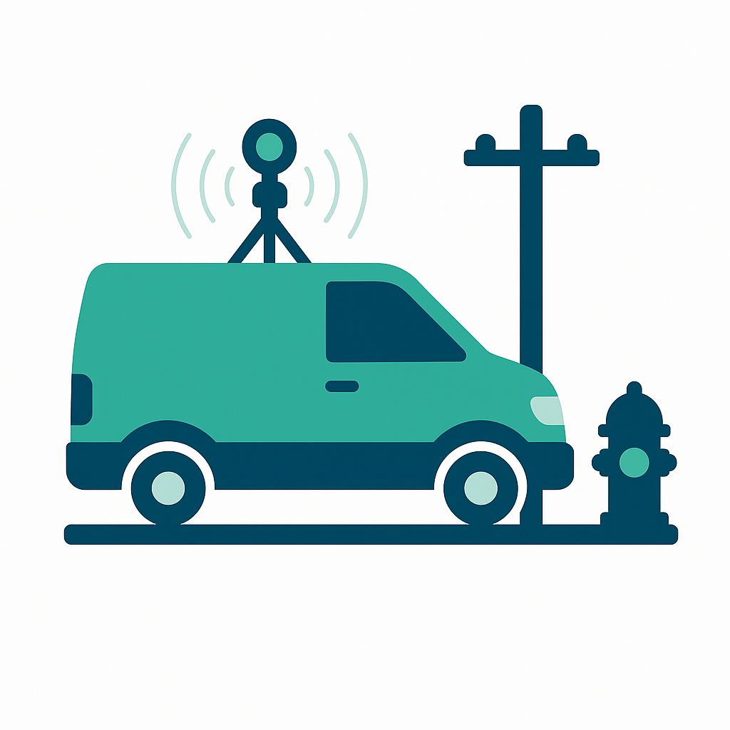
Unmatched Precision in Mapping
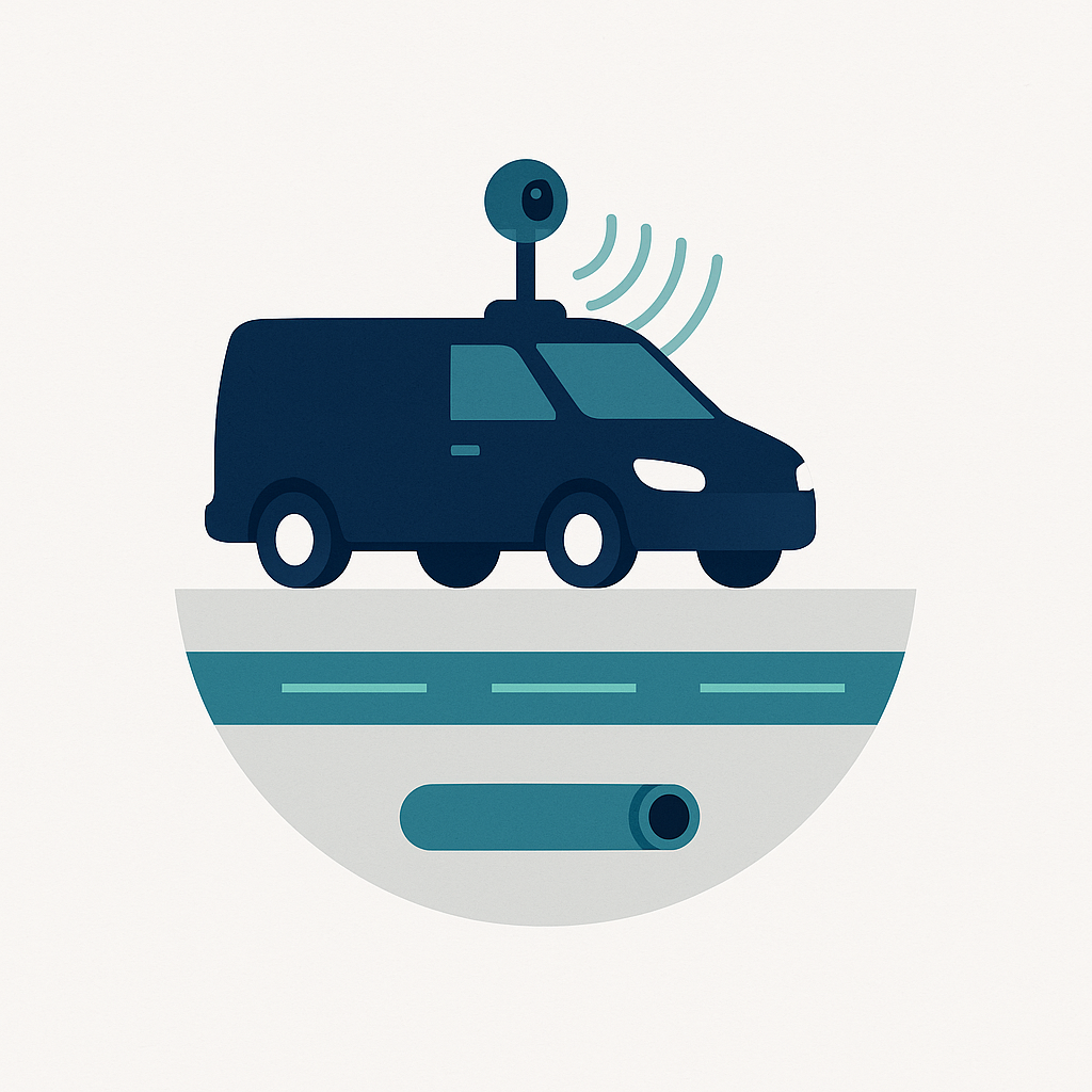
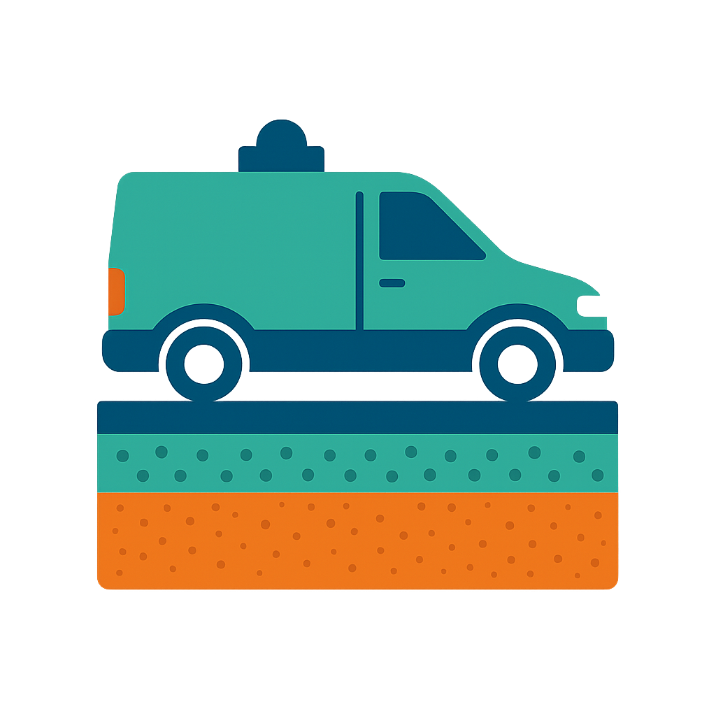
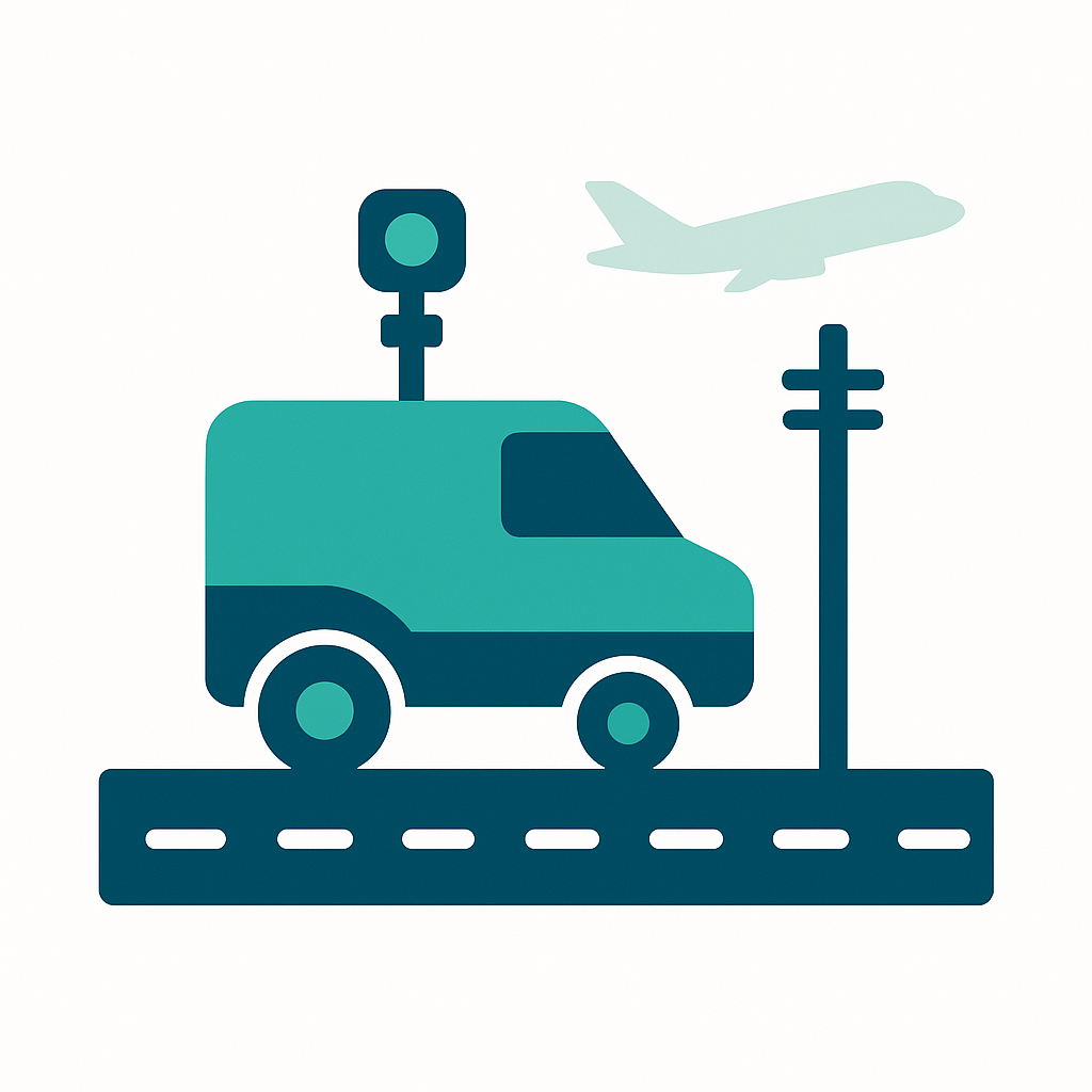
Our cutting-edge GeoRadar technology delivers highly accurate maps of underground assets, minimizing risks and optimizing project planning. We ensure that every detail is captured with utmost precision.

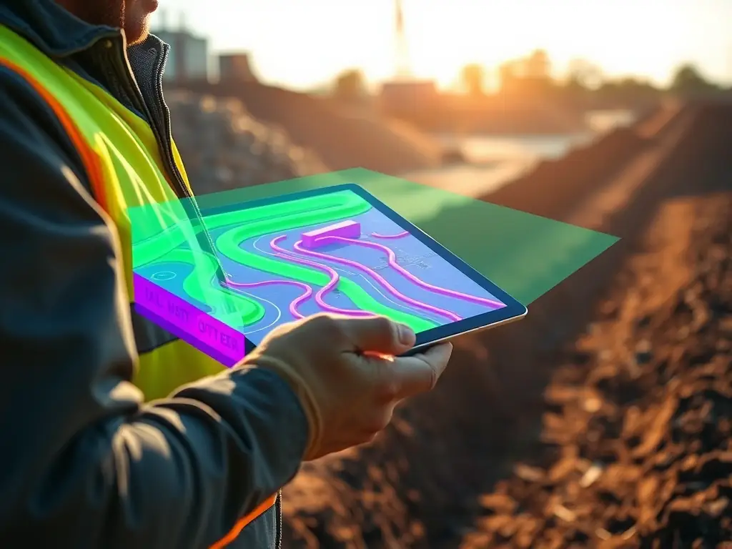
Efficient Data Collection & Analysis
Mapin’s AI-powered 360 mapping streamlines data collection and analysis, providing actionable insights faster than traditional methods. This efficiency translates to quicker decision-making and reduced project costs.
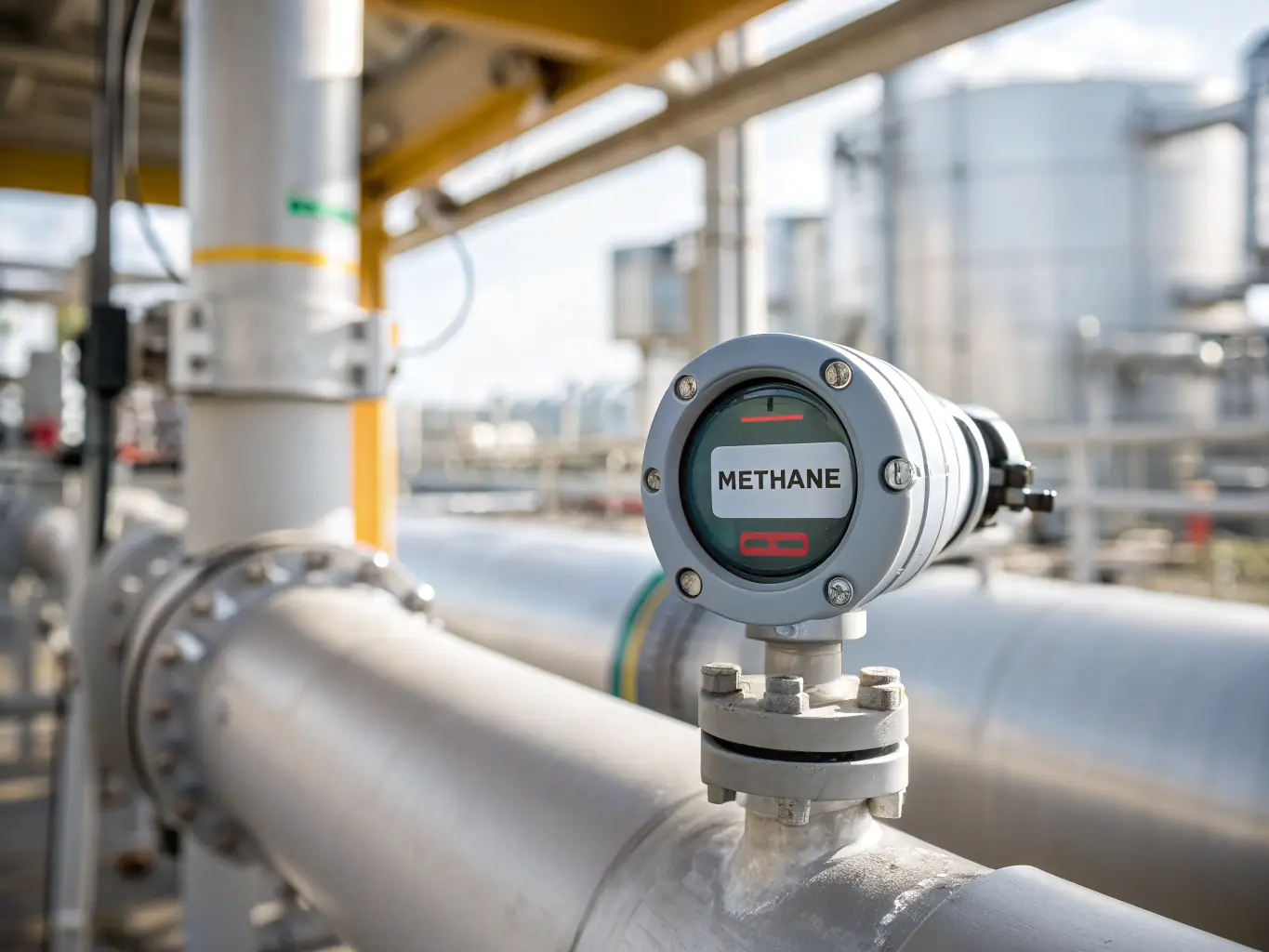
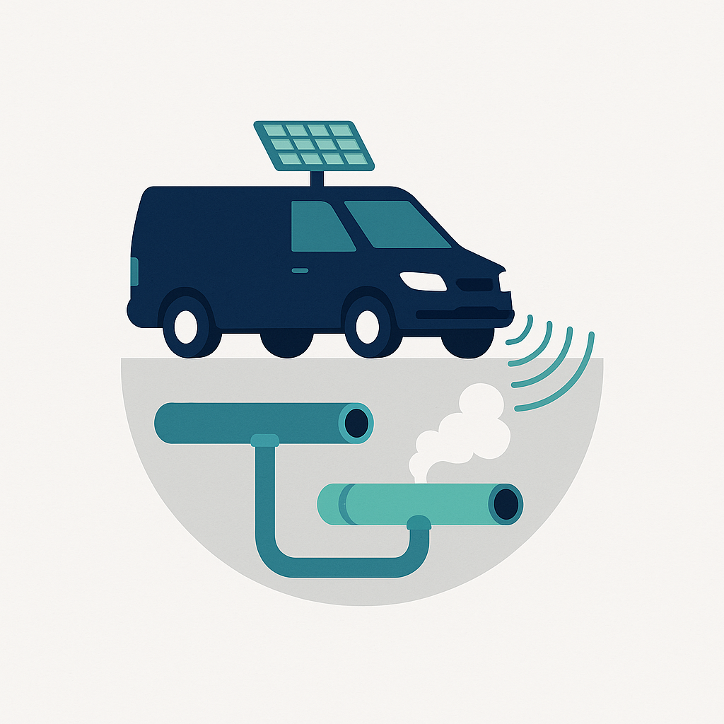
Enhanced Safety and Compliance
Our gas leak detection and infrastructure mapping services ensure compliance with safety regulations, protecting your assets and the environment. We prioritize safety in every project we undertake.
