Visualize Your Underground Assets with 3D Utility Mapping
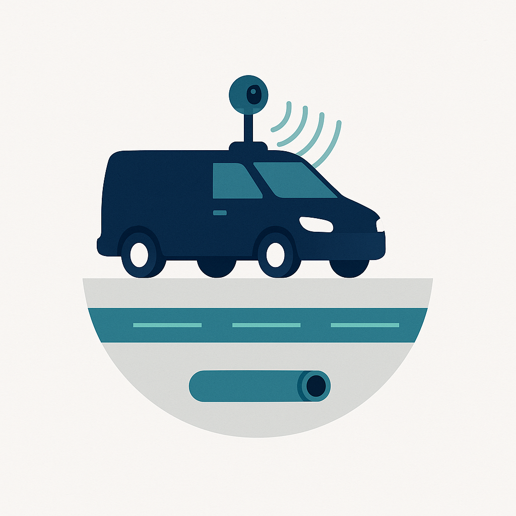
Transform geophysical readings into highly accurate maps of subsurface assets—pipelines, cables, tunnels, and more—using Mapin’s vehicle-mounted, high-speed 3D GeoRadar. Our advanced technology provides unparalleled clarity, helping you avoid costly surprises and streamline your projects.
- Eliminate surprises by accurately revealing the location of buried networks.
- Reduce rework and unplanned excavations with precise mapping data.
- Generate BIM models ready for field verification and integration with GIS systems.

Revolutionize Pavement Analysis with 3D Infrastructure Mapping
Mapin’s 3D infrastructure mapping provides high-resolution pavement analysis, detecting structural defects and voids before they escalate. Our technology combines GeoRadar and 360° imagery to deliver comprehensive insights for proactive maintenance and efficient resource allocation.
- Early Defect Detection: Identify structural issues before allocating resources.
- Precise Maintenance Planning: Plan interventions with accurate data, saving time and resources.
- Comprehensive Reporting: Detailed pavement condition reports and 360° imagery for urban planning.
Enhance Airport Runway Integrity with Autonomous Robotic Analysis
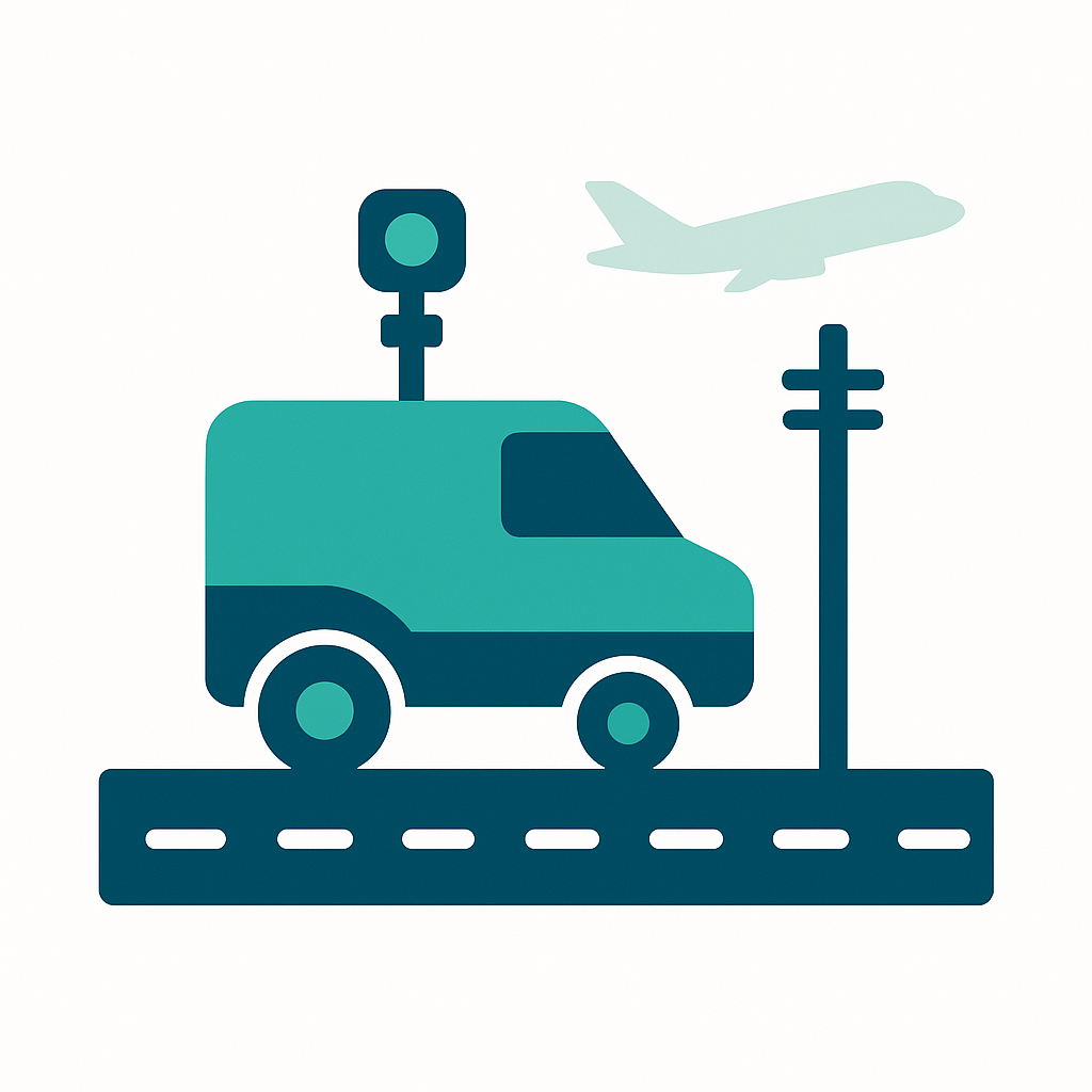
Our autonomous robot provide continuous monitoring of airport runway integrity, detecting critical issues early. This innovative approach enhances safety by minimizing human presence during operations, reduces operational costs through automation, and extends pavement lifespan with precise, georeferenced maintenance planning.
- Continuous Monitoring: Detects issues before they become critical.
- Enhanced Safety: Eliminates the need for on-site personnel during operations.
- Georeferenced Reports: Facilitates preventive maintenance planning.
- Cost Reduction: Minimizes downtime and operational expenses.
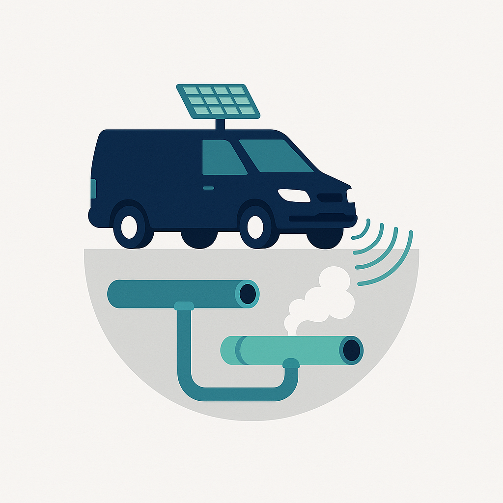
Real-Time Gas Leak Detection for Enhanced Safety
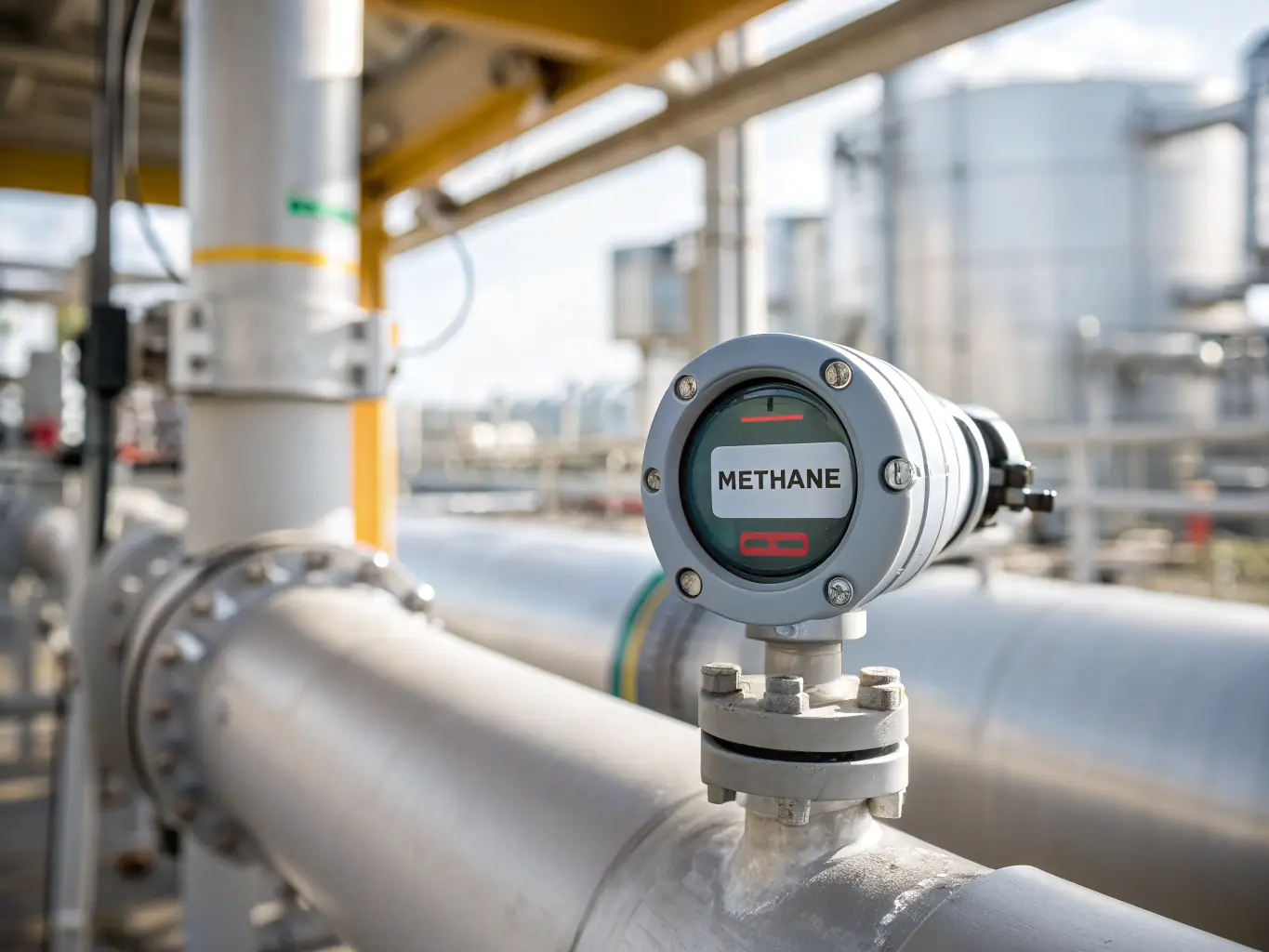
Mapin’s gas leak detection service uses specialized sensors and Optical Gas Imaging (OGI) cameras mounted on vehicles to identify and quantify methane and other hazardous gas emissions in real-time. This allows for immediate response to leaks, minimizing environmental and safety risks.
- Immediate Leak Response: Minimizes environmental and safety risks.
- Product Loss Reduction: Detect critical points quickly, reducing losses by up to 30%.
- Automated Compliance Reporting: Georeferenced mapping for easy compliance.
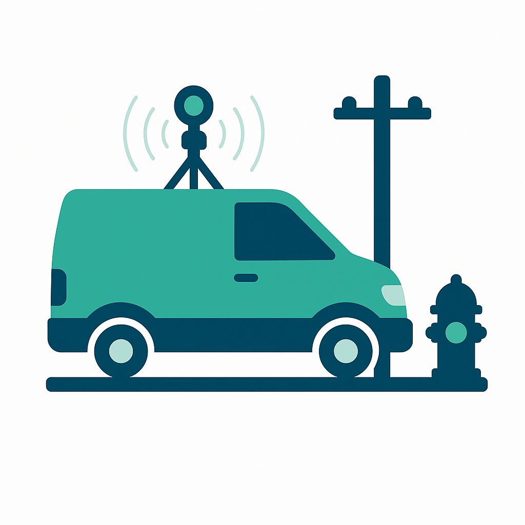
Comprehensive 360° Asset Mapping Solutions
- Complete Asset Inventory: Eliminates the need for additional survey teams.
- Simplified Inspections: Georeferenced photos streamline visual assessments.
- Enhanced GIS/BIM Data: Integrates 360° imagery with subsurface scans.
Why Mapin is the Right Choice for Your Project?
Choosing Mapin means opting for unparalleled precision and efficiency in subsurface and surface mapping. Our AI-powered technologies and advanced hardware solutions ensure accurate data, reduced project timelines, and enhanced safety, providing you with a competitive edge in the construction, utilities, and urban planning sectors.
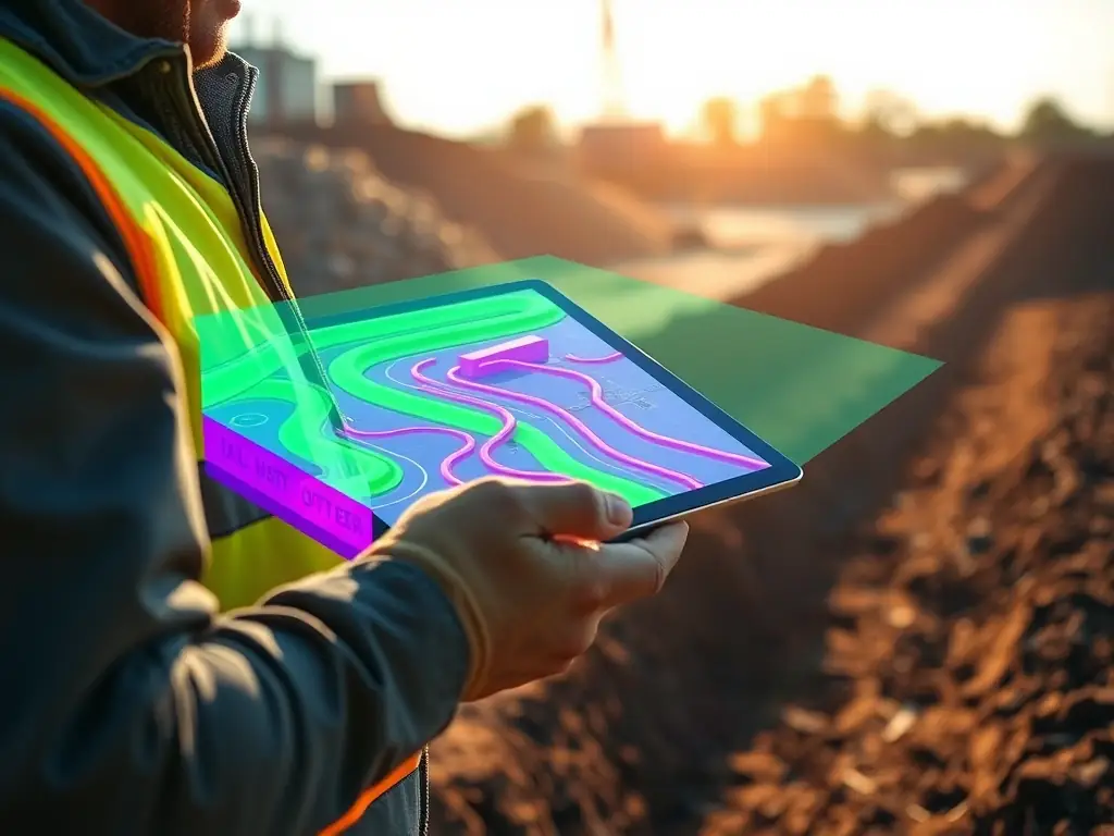
Unmatched Precision in Mapping
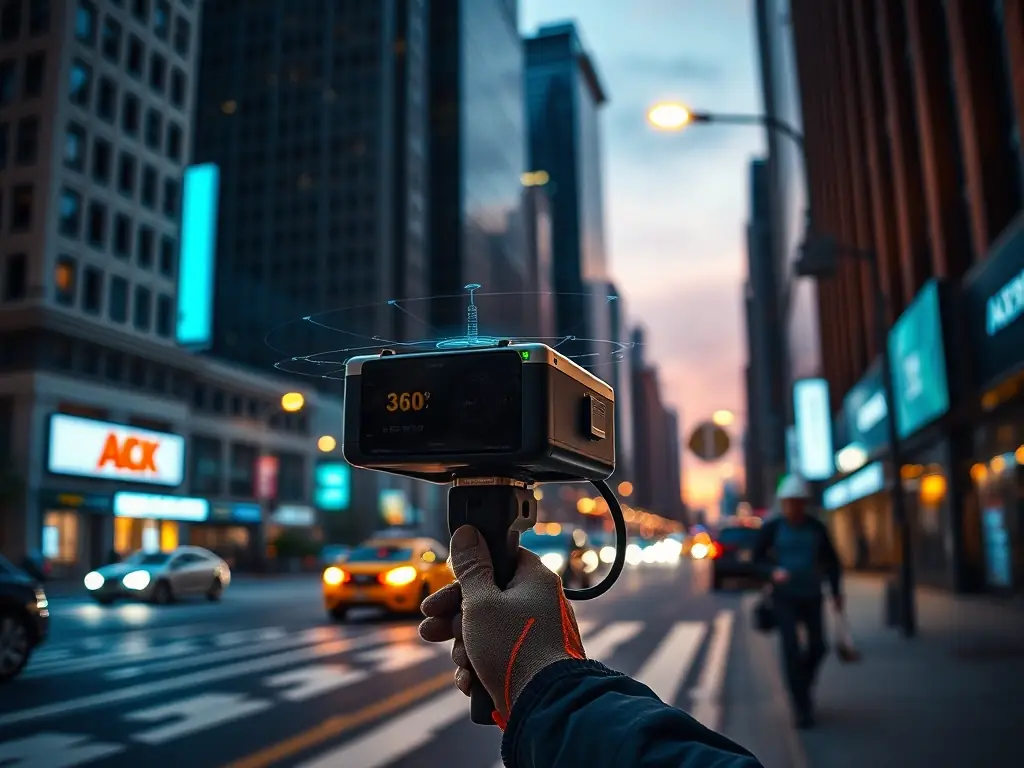
Efficient Data Collection & Analysis
